It’s just not sexy
Host: Katherine Research Station
Written by Jodie Ward – Pastoral Production Officer, Department of Primary Industry and Fisheries, Katherine Research Station.
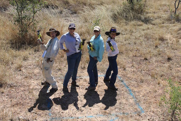
Try as I might, and I do, I cannot convince the people I talk to that counting grass is sexy. I get dressed up. I bring my own toys. I talk in a foreign language. But nothing.
Of course, by dressed up, I mean head to toe protection from the sun. And by toys I mean my own 1x1m quadrat and battery operated grass clippers. And I probably should mention that my foreign linguistic skills are strictly limited to Latin in the form of species names such as “Chrysopogon fallax” and “Aristida latifolia” . . . so, upon reflection, I recognise that it’s probably not everyone’s ideal cup of tea. But there is good reason to do it.
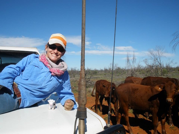 Hi I’m Jodie, one of the Pastoral Production Officers with the NT Department of Primary Industry and Fisheries.
We all weigh our sale cattle. We know pregnancy rates of our breeders and weaning rates for each paddock. We know about Estimated Breeding Values. We know what we want structurally in both our bulls and females. We know how much supplement we need to put out each month. But if I asked you about your most valuable asset on your place, the pastures, what would you be able to tell me about them? Could you tell me the proportion of good species versus the bad? Could you tell me how much there is or how many grazing days you’ve got left in each paddock? Could you tell me confidently what kind of condition your pastures were in on a paddock by paddock basis?
I guess what I’m trying to say is . . . pastures are important too! Without grass, in extensively managed beef production systems, we have no cattle! We need to know the answers to the above questions to ensure we’re enabling sustainable beef production into the future or, get even better production! If we don’t know the foundations, we can’t be certain we aren’t ruining it for the next generation or even next year and the year after.
I’m not saying you need to do it as extensively as we do it here at Department of Primary Industry and Fisheries. Cutting thousands of quadrats would be enough to drive any normal person mad, but I am saying it can be done – and it can be done by you.
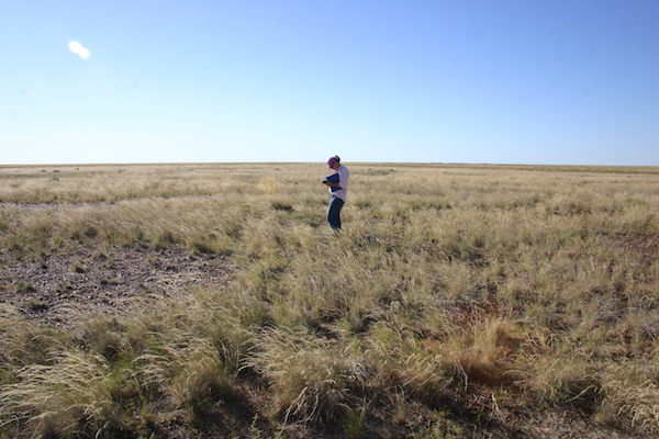 It can be a lonely job . . . but when you remember why it is you’re doing it, all is forgiven.
Do you have any old photo monitoring points you could find your way back to? Do you have any historical notes about plant species present at the time? If so, then that is a great place to start. If not, then that’s ok. You might as well set your benchmark now, and this time of year (at the end of the growing season) is a good time to start.
All you need is a GPS, notebook, a pencil or pen that works, camera and a good pasture species identification book. If you have a 1mx1m square quadrat lying around from a previous workshop you may have done, bring that too.
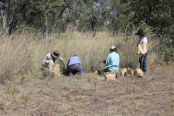
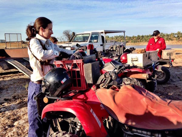 Our team joined up with Barkly Landcare recently to conduct some pasture monitoring.
My recommendation would be to start in a small paddock you know well.
Go to a place in the paddock away from a road (yes, you might have to walk), and approximately 2-3km away from a watering point. Mark the spot on your GPS and drop a waypoint labelling it something you will be able to draw upon again easily such as “PaddockNamePoint1”.
Face the direction of the closest watering point and take a photo with one third sky, two thirds pasture/trees/etc, turn 180⁰ and take another photo. Make sure the photo has a significant landmark you can realign a future photo with, such as a hill or recognisable tree line.
Use the pasture identification book to record the most common pasture species including grasses, forbs or herbage and most definitely weeds. If you need a hand with this, contact your local DPIF officer or relevant agency in your state.
The next step is to attempt to estimate how much of the ground is bare. And by bare I mean with no leaf litter or organic matter covering it. Bare rocks count as bare. Manure counts as organic matter, so include that in your estimation. This is where having a quadrat comes in handy – for my mind, it is easier to mentally divide that quadrat into quarters and use that to estimate the required figure. It may be as low as 1% or as high as 50%.
After this, it is time to estimate pasture yield. As we know, the amount of pasture present is relative to how much rain that has fallen, however, it can also be influenced by management. Estimating pasture yield might sound daunting but take a look at this great Futurebeef guide to get you started: https://futurebeef.com.au/knowledge-centre/pastures-and-forage-crops/pasture-photo-standards/
And that’s it!
That’s all you need to do for that point! Now onto the next one!
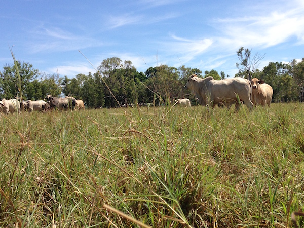 Beautiful scenery and animals such as this make me smile while counting grass.
Ideally you will repeat this a few times in every paddock capturing all your different land types. But anything is better than nothing.
I can hear you right now saying “that is a hell of a lot of work for one site” and yeah, it might be but that data that you have captured is invaluable. You can now compare what kind of condition that country is in, in comparison to previous years if you have historical photos. You now can tell the proportion of good species from bad species (a good pasture identification book will tell you that). You’ve taught yourself to estimate pasture yield (or count grass as we call it). You now have something to benchmark your management practices on – you don’t know what you don’t measure.
So why not, take a day or two to go count some grass, get your pasture yield eye in and estimating ground cover. But most of all, why not try your hand at making grass counting sexy. Have a crack at it, and talk some Latin to me!
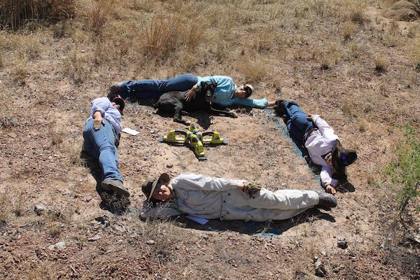
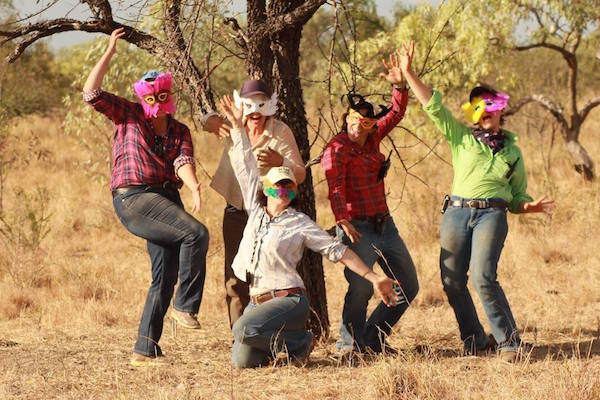 Sometimes you need to create your own fun to keep from going a little crazy.
